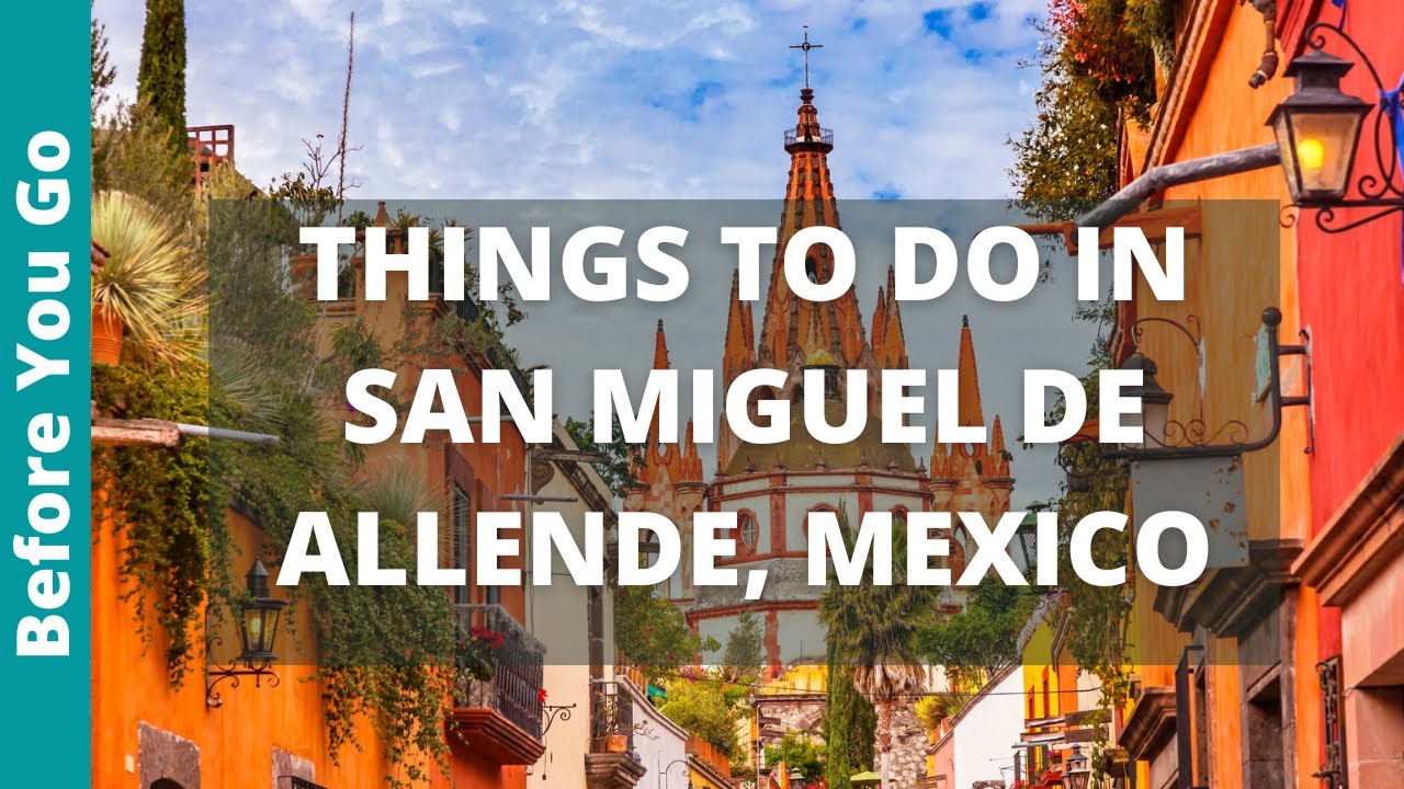
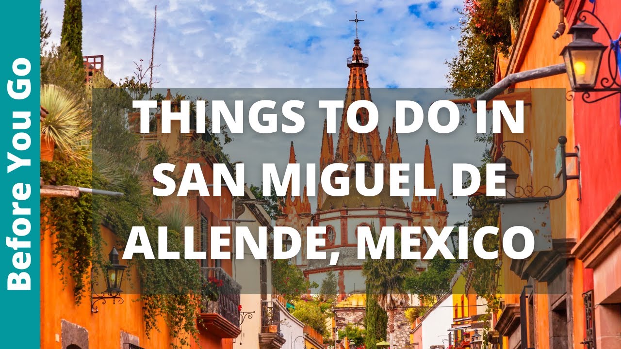
Discovering San Miguel de Allende: Where is it Located?
San Miguel de Allende, a UNESCO World Heritage site, is a city that’s brimming with charm and history. But the question that might be lingering in your mind is – where is San Miguel de Allende located? This picturesque city is nestled in the eastern part of Guanajuato, a state in central Mexico. It’s approximately 274 kilometers north of Mexico City, making it an accessible destination for both domestic and international travelers.
Geographical Setting of San Miguel de Allende
San Miguel de Allende is situated in the high plains of central Mexico, in a region often referred to as the Bajío. This area is known for its mild, temperate climate and stunning natural beauty. The city itself is located at an altitude of about 1,910 meters above sea level, giving it a cool and comfortable climate year-round. Its geographical position offers visitors an opportunity to immerse themselves in a unique blend of natural beauty and cultural richness.
Getting to San Miguel de Allende
Traveling to San Miguel de Allende is relatively straightforward. The closest airport is the Querétaro Intercontinental Airport (QRO), about 75 kilometers away, while the Guanajuato International Airport (BJX) is approximately 95 kilometers away. From these airports, you can easily reach the city by bus or taxi. Additionally, the city is well-connected by road to several major Mexican cities, including Mexico City, Guadalajara, and Monterrey.
A Closer Look at San Miguel de Allende’s Unique Geography
San Miguel de Allende, located in the central highlands of Mexico, is known for its unique geographical features that make it an interesting place to visit. Its geographical location contributes to a mild climate, which has been a significant draw for both tourists and expatriates.
Geographical Location
San Miguel de Allende is situated in the eastern part of Guanajuato, at an altitude of 1,910 meters above sea level. This high elevation contributes to its pleasant climate. Nestled in the Bajio region, it is surrounded by rugged hills and fertile valleys, providing stunning landscapes and spectacular views.
Climate
The climate in San Miguel de Allende is semi-arid, characterized by mild, dry winters and wet summers. The average annual temperature is around 16°C (60°F), with temperatures rarely exceeding 30°C (86°F). This comfortable weather is attributed to its high altitude and its location within the Mexican Plateau.
Flora and Fauna
The unique geography of San Miguel de Allende also supports a rich diversity of flora and fauna. The region is home to various species of cacti, agaves, and mesquite trees. Wildlife enthusiasts will be thrilled to find a variety of bird species, including the endemic Mexican Jay and the migratory Monarch butterfly.
Understanding the Locale: A Comprehensive Map Guide to San Miguel de Allende
San Miguel de Allende is a city that is full of history, culture, and beauty. It’s no wonder that it’s a favorite destination for travelers worldwide. To truly understand and appreciate this locale, one needs a comprehensive map guide. This guide will help you navigate the city’s winding streets, identify its key landmarks, and explore its many hidden gems.
Key Landmarks and Points of Interest
Our comprehensive map guide of San Miguel de Allende highlights the city’s most notable landmarks. These include the iconic Parroquia de San Miguel Arcángel, the historic Centro Cultural Ignacio Ramírez “El Nigromante”, and the vibrant Mercado de Artesanías. Whether you’re a history buff, an art lover, or a foodie, our map guide has got you covered.
Navigating the City’s Streets
San Miguel de Allende is known for its cobblestone streets and colorful houses. However, these charming features can make navigation a bit tricky, especially for first-time visitors. Our map guide is designed to help you navigate the city with ease. It provides detailed street views, clear directions, and useful markers to help you find your way around.
Discovering Hidden Gems
One of the best things about San Miguel de Allende is its wealth of hidden gems. From quiet cafés and boutique shops to lush gardens and stunning viewpoints, there’s always something new to discover. With our comprehensive map guide, you’ll be able to uncover these secret spots and experience San Miguel de Allende like a local.
How to Get to San Miguel de Allende: Transportation and Directions
San Miguel de Allende, a picturesque city in Mexico’s central highlands, is known for its baroque Spanish architecture, thriving arts scene, and cultural festivals. But how do you get there? Whether you’re traveling by air, road, or bus, we’ve got you covered with these transportation tips and directions.
By Air
The closest airport to San Miguel de Allende is the Del Bajío International Airport (BJX) located in Guanajuato, about 90 km away. Several international airlines, including American Airlines, United Airlines, and Aeromexico, offer direct flights to this airport. From the airport, you can take a taxi or arrange for a private transfer to San Miguel de Allende.
By Road
If you’re already in Mexico and prefer to drive, you can easily reach San Miguel de Allende by road. The city is well-connected to major cities such as Mexico City, Guadalajara, and Querétaro via the Mexican Federal Highway. Remember to keep a map or GPS handy as signage can sometimes be sparse.
The drive from Mexico City to San Miguel de Allende typically takes about 3.5 to 4 hours by car, depending on traffic and the chosen route. The journey covers approximately 265 kilometers (165 miles) via highways, primarily using the Mexico-Querétaro Highway (Highway 57D) and then branching off to Highway 111 towards San Miguel de Allende.
The route offers scenic views of the Mexican countryside, with a mix of mountains, plains, and charming small towns along the way. It’s a popular drive for weekend travelers heading to the historic and cultural hub of San Miguel de Allende.
By Bus
For those who prefer a more economical option, traveling by bus is a viable choice. ETN and Primera Plus are two popular bus companies that run regular services to San Miguel de Allende from various cities in Mexico. The buses are comfortable and often equipped with amenities like reclining seats and Wi-Fi.
Exploring the Surroundings: What’s Nearby San Miguel de Allende?
San Miguel de Allende, a colonial-era city in Mexico’s central highlands, is known for its vibrant, baroque Spanish architecture, thriving arts scene, and cultural festivals. But, while the city itself is a treasure trove of attractions, the surrounding areas also have a lot to offer. This article aims to take you on a journey through some of the most fascinating locations around San Miguel de Allende.
Historical and Natural Wonders
First on the list is the ancient city of Guanajuato, just an hour’s drive from San Miguel. A UNESCO World Heritage Site, Guanajuato is famed for its winding lanes, colorful houses, and historic silver mines. Another must-visit nearby destination is the Sierra Gorda Biosphere Reserve. This natural sanctuary spreads across the states of Guanajuato, Querétaro, and San Luis Potosí, offering a diverse range of flora and fauna, as well as breathtaking landscapes.
Art and Culture
For art enthusiasts, a visit to the city of Querétaro is a must. Home to some of Mexico’s most prominent artists, this city is a hub of creativity, boasting numerous art galleries and workshops. Moreover, the region surrounding San Miguel de Allende is known for its wine and cheese routes. Towns like Dolores Hidalgo and Tequisquiapan offer visitors the chance to sample some of the finest Mexican wines and cheeses, while also exploring the picturesque countryside.
Martin Weidemann is a digital transformation expert and entrepreneur with over 20 years of experience leading fintech and innovation projects. As a LinkedIn Top Voice in Digital Transformation and contributor to outlets like Forbes, he now brings that same expertise to travel and mobility in Mexico City through Mexico-City-Private-Driver.com. His focus: trustworthy service, local insights, and peace of mind for travelers.


